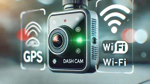

Autonomous vehicles (AVs) are reshaping how we think about transportation, offering the promise of safer roads, reduced traffic congestion, and greater convenience. At the heart of this innovation lies mapping technology—a critical component enabling vehicles to navigate complex environments with precision and confidence. For drivers and tech enthusiasts in the US and Europe, understanding the role of mapping technologies in autonomous vehicles reveals how this revolutionary advancement is being realized.
Why Maps Matter in Autonomous Driving
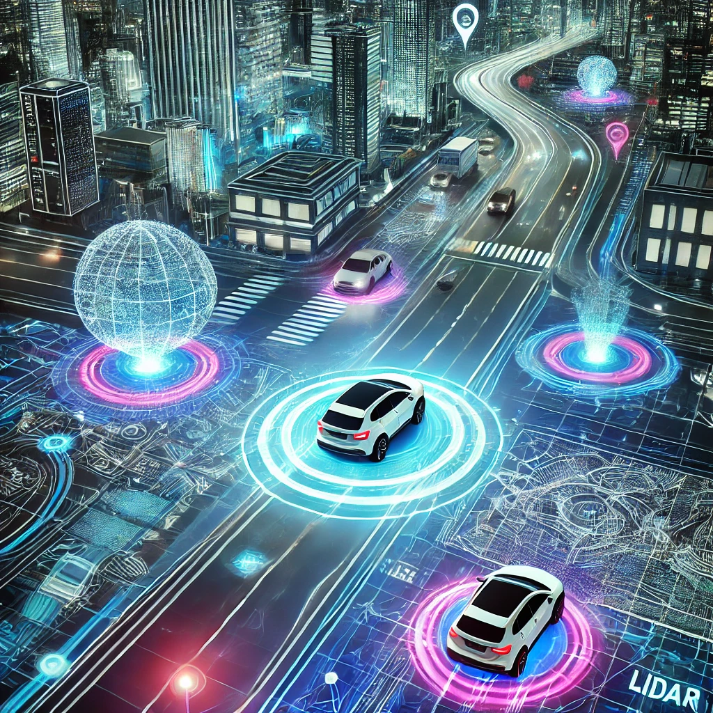
Maps for autonomous vehicles are far more sophisticated than the navigation systems we use in everyday life. While traditional GPS mapping focuses on routes and distances, AV mapping technologies provide a highly detailed, three-dimensional representation of the world. These high-definition (HD) maps include information about road geometry, lane markings, traffic signs, and even objects like trees and utility poles.
This level of detail is essential for autonomous vehicles to make real-time decisions, especially in dynamic and unpredictable environments. Mapping technologies work in tandem with sensors, cameras, and artificial intelligence (AI) to help AVs “see” and understand their surroundings.
Building High-Definition Maps
Creating HD maps for autonomous vehicles is a complex process that requires both precision and scalability. Specialized mapping vehicles equipped with lidar, radar, and high-resolution cameras are used to capture vast amounts of data. These vehicles drive through cities and highways, collecting information about road layouts, infrastructure, and environmental features.
Once the data is collected, it is processed using advanced algorithms and AI. This process involves converting raw sensor data into a digital representation of the real world. Key features like lane boundaries, crosswalks, and traffic signals are labeled and integrated into the map, ensuring that autonomous vehicles have an accurate and up-to-date understanding of their surroundings.
Keeping Maps Up-to-Date
One of the biggest challenges in autonomous vehicle mapping is maintaining accuracy in a constantly changing world. Roads are dynamic environments, with construction, traffic patterns, and weather conditions causing frequent changes. To ensure reliability, mapping technologies rely on continuous updates.
In the US and Europe, companies are using a combination of crowd-sourced data and real-time sensor inputs to keep maps current. For example, as autonomous vehicles navigate, their sensors capture new information about changes in the environment, such as temporary road closures or newly installed signs. This data is sent back to centralized servers, where it is used to update maps for the entire fleet.
By integrating real-time updates, mapping technologies allow autonomous vehicles to adapt to new conditions seamlessly, ensuring safe and efficient navigation.
The Role of Localization
Localization is the process by which an autonomous vehicle determines its precise position relative to the HD map. This is a critical aspect of autonomous driving, as the vehicle must know its exact location to follow the road, stay within lanes, and avoid obstacles.
Localization relies on a combination of technologies, including GPS, lidar, and onboard cameras. By comparing sensor data to the HD map, the vehicle can pinpoint its position with centimeter-level accuracy. This level of precision is especially important in urban environments, where small deviations can lead to collisions or traffic violations.
In Europe, where cities often feature narrow streets and complex layouts, localization technologies are designed to handle these unique challenges. Similarly, in the US, long stretches of highways with varying speed limits and lane configurations require robust mapping and localization systems.
Mapping Challenges and Solutions
While mapping technologies have advanced significantly, challenges remain. The vast scale of mapping entire countries and regions requires significant time and resources. Additionally, ensuring that maps remain accurate in adverse weather conditions, such as snow or heavy rain, poses unique challenges.
To address these issues, companies are exploring innovative solutions. AI and machine learning algorithms are being developed to automate map creation and updates, reducing the reliance on manual input. Meanwhile, partnerships between automakers, tech companies, and governments in the US and Europe are helping to accelerate the deployment of mapping infrastructure.
Advances in sensor technology are also playing a key role. Next-generation lidar and radar systems are capable of capturing data in extreme conditions, ensuring that maps remain reliable regardless of weather or lighting.
The Road Ahead for Mapping Technologies
Mapping technologies are the backbone of autonomous vehicles, enabling them to navigate safely and efficiently in a wide range of environments. As the US and Europe continue to invest in autonomous mobility, the importance of robust and accurate mapping systems will only grow.
The future of mapping technologies holds exciting possibilities. With advancements in AI, cloud computing, and 5G connectivity, the potential for real-time, globally updated maps is closer than ever. These innovations promise to make autonomous vehicles even more reliable and accessible, transforming how we travel and interact with our surroundings.
For anyone interested in the future of transportation, mapping technologies for autonomous vehicles represent a fascinating intersection of engineering, data science, and artificial intelligence. As this technology evolves, it’s paving the way for safer roads, smarter cities, and a new era of mobility that benefits everyone.